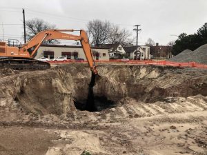
Aerial images of contaminated areas captured by drones provide useful details for analysis.
Soil investigation methods and techniques are evolving rapidly thanks to technology. For LITOCLEAN it is very important to keep abreast of these advances, so the LITOCLEAN Peru team uses drones for the environmental study of certain areas. This tool makes it possible, among other things, to survey environmental liabilities, analyze the landscape and map areas of interest. Thanks to the images obtained by these devices, the technicians are able to identify the study areas in detail, which provides them with valuable and useful information that would be very difficult to obtain otherwise. In addition, it is used as a tool in digital image processing and in the development of geographic information systems.